
Rājāwāla topographic map
Interactive map
Click on the map to display elevation.
About this map
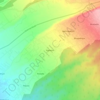
Name: Rājāwāla topographic map, elevation, terrain.
Location: Rājāwāla, Vikasnagar, Dehradun, Uttarakhand, 248011, India (30.36753 77.87610 30.40753 77.91610)
Average elevation: 2,018 ft
Minimum elevation: 1,808 ft
Maximum elevation: 2,287 ft