
Tongren topographic map
Interactive map
Click on the map to display elevation.
About this map
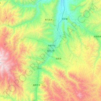
Name: Tongren topographic map, elevation, terrain.
Location: Tongren, 同仁市, 黄南藏族自治州, Qinghai, China (35.35647 101.85643 35.67647 102.17643)
Average elevation: 10,499 ft
Minimum elevation: 7,362 ft
Maximum elevation: 15,646 ft