
Sevastopol topographic map
Interactive map
Click on the map to display elevation.
About this map
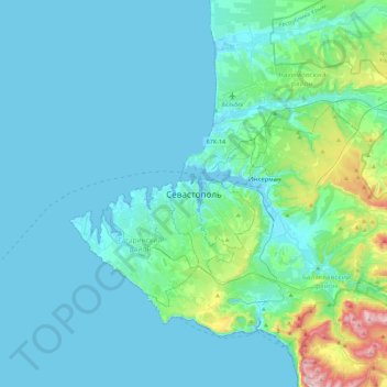
Name: Sevastopol topographic map, elevation, terrain.
Location: Sevastopol, 299911, Ukraine (44.44544 33.36208 44.76544 33.68208)
Average elevation: 240 ft
Minimum elevation: -7 ft
Maximum elevation: 2,024 ft