
Knapstad topographic map
Interactive map
Click on the map to display elevation.
About this map
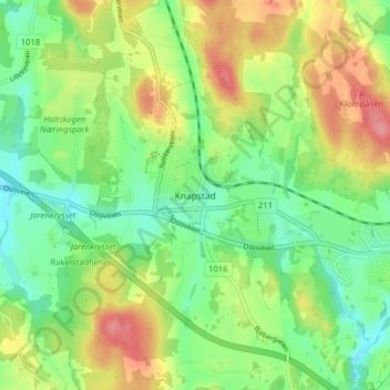
Name: Knapstad topographic map, elevation, terrain.
Location: Knapstad, Indre Østfold, Viken, 1823, Noruega (59.60184 11.01159 59.64184 11.05159)
Average elevation: 420 ft
Minimum elevation: 302 ft
Maximum elevation: 594 ft