
Mount Stanley topographic map
Interactive map
Click on the map to display elevation.
About this map
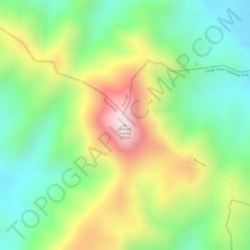
Name: Mount Stanley topographic map, elevation, terrain.
Location: Mount Stanley, Gladstone, Queensland, Australia (-24.19517 151.36379 -24.19507 151.36389)
Average elevation: 1,240 ft
Minimum elevation: 469 ft
Maximum elevation: 2,313 ft
Other topographic maps
Click on a map to view its topography, its elevation and its terrain.
Mount Despair
Australia > Queensland > Gladstone
Mount Despair, Gladstone, Queensland, Australia
Average elevation: 354 ft
Rundle Range National Park
Australia > Queensland > Gladstone
Rundle Range National Park, Gladstone, Queensland, Australia
Average elevation: 102 ft
Lake Awoonga
Australia > Queensland > Gladstone
Lake Awoonga, Gladstone, Queensland, Australia
Average elevation: 341 ft