
Murnadu topographic map
Interactive map
Click on the map to display elevation.
About this map
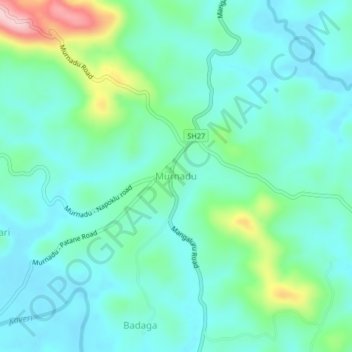
Name: Murnadu topographic map, elevation, terrain.
Location: Murnadu, Madikeri taluku, Kodagu, Karnataka, India (12.29354 75.73245 12.33354 75.77245)
Average elevation: 2,979 ft
Minimum elevation: 2,825 ft
Maximum elevation: 3,530 ft