
La Espina topographic map
Interactive map
Click on the map to display elevation.
About this map
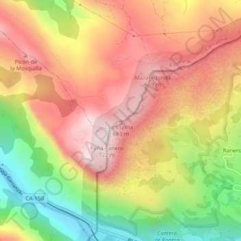
Name: La Espina topographic map, elevation, terrain.
Location: La Espina, Rasines, Asón-Agüera, Cantabria, 39860, Spain (43.26474 -3.38809 43.26484 -3.38799)
Average elevation: 1,450 ft
Minimum elevation: 322 ft
Maximum elevation: 2,333 ft