
Colón topographic map
Interactive map
Click on the map to display elevation.
About this map
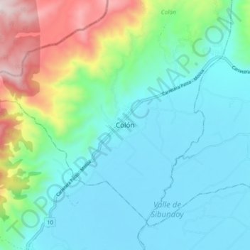
Name: Colón topographic map, elevation, terrain.
Location: Colón, Putumayo, Colombie (1.14949 -77.01251 1.22949 -76.93251)
Average elevation: 7,428 ft
Minimum elevation: 6,752 ft
Maximum elevation: 9,665 ft