
Cerro La Tinaja topographic map
Interactive map
Click on the map to display elevation.
About this map
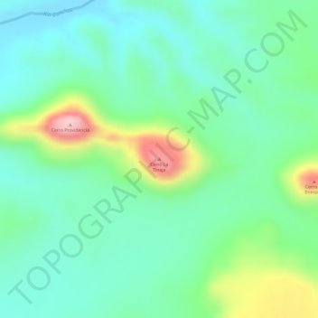
Name: Cerro La Tinaja topographic map, elevation, terrain.
Location: Cerro La Tinaja, Linares, Nuevo León, México (24.87751 -99.26021 24.87761 -99.26011)
Average elevation: 945 ft
Minimum elevation: 725 ft
Maximum elevation: 1,440 ft
Other topographic maps
Click on a map to view its topography, its elevation and its terrain.
Congregación La Petaca
México > Nuevo León > Linares
Congregación La Petaca, Linares, Nuevo León, 67755, México
Average elevation: 1,106 ft
Cerro Prieto
México > Nuevo León > Linares
Cerro Prieto, Linares, Nuevo León, México
Average elevation: 909 ft
Vista Hermosa
México > Nuevo León > Linares > Vista Hermosa
Vista Hermosa, Linares, Nuevo León, México
Average elevation: 1,444 ft