
北闫郭村 topographic map
Interactive map
Click on the map to display elevation.
About this map
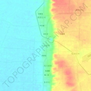
Name: 北闫郭村 topographic map, elevation, terrain.
Location: 北闫郭村, 永济市, 运城市, 山西省, 中国 (34.85191 110.30688 34.89191 110.34688)
Average elevation: 1,175 ft
Minimum elevation: 1,096 ft
Maximum elevation: 1,299 ft