
乌雅卓热 topographic map
Interactive map
Click on the map to display elevation.
About this map
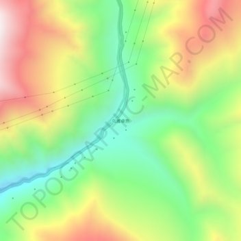
Name: 乌雅卓热 topographic map, elevation, terrain.
Location: 乌雅卓热, 旺达镇, 左贡县, 昌都市, 西藏自治区, 中国 (29.66526 97.91553 29.70526 97.95553)
Average elevation: 14,623 ft
Minimum elevation: 13,127 ft
Maximum elevation: 16,558 ft