
Maddiledu topographic map
Interactive map
Click on the map to display elevation.
About this map
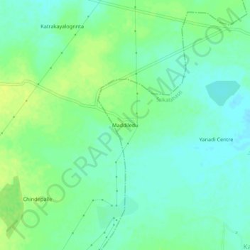
Name: Maddiledu topographic map, elevation, terrain.
Location: Maddiledu, Srikalahasti, Chittoor, Andhra Pradesh, India (13.72380 79.60892 13.76380 79.64892)
Average elevation: 249 ft
Minimum elevation: 223 ft
Maximum elevation: 276 ft