
Verkhoïansk topographic map
Interactive map
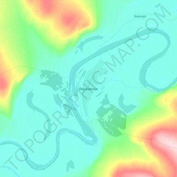
Click on the map to display elevation.
About this map
Name: Verkhoïansk topographic map, elevation, terrain.
Average elevation: 568 ft
Minimum elevation: 397 ft
Maximum elevation: 1,178 ft
Dans cette région, on rencontre fréquemment un autre phénomène. des « lacs de froid » se forment en hiver, ce qui signifie que la température s'accroît avec l'altitude.