
Mezquitán topographic map
Interactive map
Click on the map to display elevation.
About this map
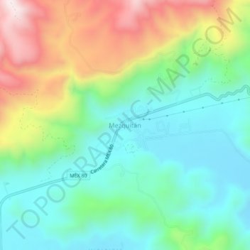
Name: Mezquitán topographic map, elevation, terrain.
Location: Mezquitán, Autlán de Navarro, Jalisco, 48907, México (19.80256 -104.35708 19.84256 -104.31708)
Average elevation: 3,786 ft
Minimum elevation: 3,015 ft
Maximum elevation: 5,331 ft