
Terrugem topographic map
Interactive map
Click on the map to display elevation.
About this map
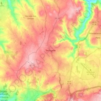
Name: Terrugem topographic map, elevation, terrain.
Average elevation: 479 ft
Minimum elevation: 121 ft
Maximum elevation: 682 ft
Other topographic maps
Click on a map to view its topography, its elevation and its terrain.
Rio Lizandro
Portugal > Lisbon > São João das Lampas e Terrugem > Terrugem > Armés
Average elevation: 420 ft