
SCOPE Park topographic map
Interactive map
Click on the map to display elevation.
About this map
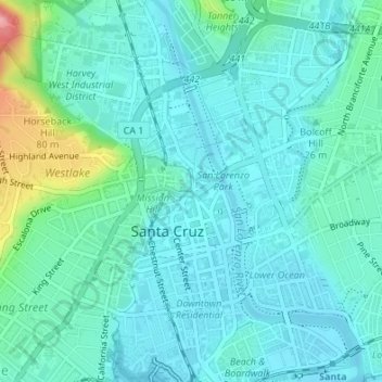
Name: SCOPE Park topographic map, elevation, terrain.
Average elevation: 72 ft
Minimum elevation: 0 ft
Maximum elevation: 387 ft
Other topographic maps
Click on a map to view its topography, its elevation and its terrain.
La Corona
United States > California > Santa Cruz County > Santa Cruz
La Corona, Santa Cruz, Santa Cruz County, California, 95065, United States
Average elevation: 282 ft