
Rosario Beach topographic map
Interactive map
Click on the map to display elevation.
About this map
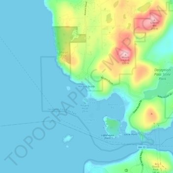
Name: Rosario Beach topographic map, elevation, terrain.
Location: Rosario Beach, Skagit County, Washington, 98221, USA (48.39967 -122.68402 48.43967 -122.64402)
Average elevation: 151 ft
Minimum elevation: -10 ft
Maximum elevation: 709 ft