
Vang topographic map
Interactive map
Click on the map to display elevation.
About this map
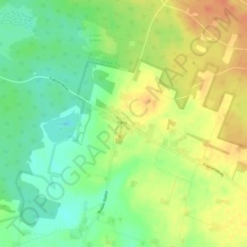
Name: Vang topographic map, elevation, terrain.
Location: Vang, Thisted Municipality, North Denmark Region, Denmark (56.98371 8.50564 56.98805 8.51775)
Average elevation: 95 ft
Minimum elevation: 30 ft
Maximum elevation: 161 ft