
Thawra topographic map
Interactive map
Click on the map to display elevation.
About this map
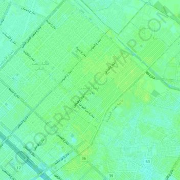
Name: Thawra topographic map, elevation, terrain.
Location: Thawra, Baghdad, Sadr City, Baghdad, Iraq (33.34961 44.40986 33.42013 44.49489)
Average elevation: 125 ft
Minimum elevation: 112 ft
Maximum elevation: 135 ft