
康桥 topographic map
Interactive map
Click on the map to display elevation.
About this map
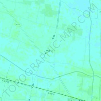
Name: 康桥 topographic map, elevation, terrain.
Location: 康桥, 阜阳市, 安徽省, 中国 (32.84152 116.02571 32.88152 116.06571)
Average elevation: 92 ft
Minimum elevation: 82 ft
Maximum elevation: 105 ft
Other topographic maps
Click on a map to view its topography, its elevation and its terrain.