
Stony Point topographic map
Interactive map
Click on the map to display elevation.
About this map
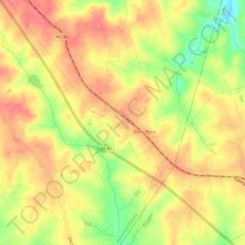
Name: Stony Point topographic map, elevation, terrain.
Location: Stony Point, Alexander County, North Carolina, United States (35.84485 -81.06640 35.88495 -81.02564)
Average elevation: 1,014 ft
Minimum elevation: 850 ft
Maximum elevation: 1,115 ft