
Pilar topographic map
Interactive map
Click on the map to display elevation.
About this map
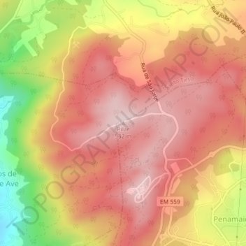
Name: Pilar topographic map, elevation, terrain.
Location: Pilar, Penamaior, Paços de Ferreira, Porto, 4595-324, Portugal (41.29804 -8.42891 41.29814 -8.42881)
Average elevation: 1,355 ft
Minimum elevation: 636 ft
Maximum elevation: 1,736 ft