
Calvera topographic map
Interactive map
Click on the map to display elevation.
About this map
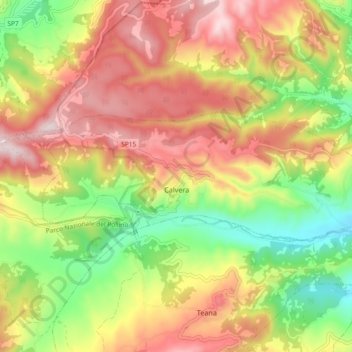
Name: Calvera topographic map, elevation, terrain.
Location: Calvera, PZ, BAS, Italia (40.13924 16.10328 40.16509 16.19563)
Average elevation: 2,139 ft
Minimum elevation: 1,293 ft
Maximum elevation: 2,969 ft