
倪坊村 topographic map
Interactive map
Click on the map to display elevation.
About this map
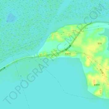
Name: 倪坊村 topographic map, elevation, terrain.
Location: 倪坊村, 三里乡, 进贤县, 南昌市, 江西省, 中国 (28.61137 116.29339 28.65137 116.33339)
Average elevation: 59 ft
Minimum elevation: 36 ft
Maximum elevation: 121 ft