
Koudiat Sidi Abdelkader topographic map
Interactive map
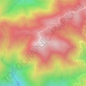
Click on the map to display elevation.
About this map
Name: Koudiat Sidi Abdelkader topographic map, elevation, terrain.
Location: Koudiat Sidi Abdelkader, Chréa, Daïra Ouled Yaïch, Blida, RADP (36.40298 2.83731 36.40308 2.83741)
Average elevation: 4,183 ft
Minimum elevation: 2,454 ft
Maximum elevation: 5,308 ft