
Ciply topographic map
Interactive map
Click on the map to display elevation.
About this map
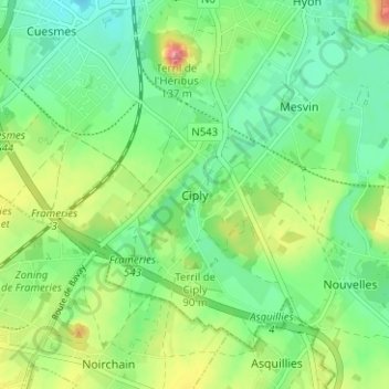
Name: Ciply topographic map, elevation, terrain.
Location: Ciply, Bergen, Henegouwen, Wallonië, 7024, België (50.39927 3.92381 50.43927 3.96381)
Average elevation: 180 ft
Minimum elevation: 69 ft
Maximum elevation: 394 ft