
Castle Grove topographic map
Interactive map
Click on the map to display elevation.
About this map
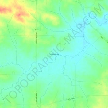
Name: Castle Grove topographic map, elevation, terrain.
Location: Castle Grove, Jones County, Iowa, USA (42.24055 -91.33682 42.28055 -91.29682)
Average elevation: 938 ft
Minimum elevation: 879 ft
Maximum elevation: 1,056 ft