
Coral Sea Islands topographic map
Interactive map
Click on the map to display elevation.
About this map
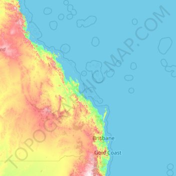
Name: Coral Sea Islands topographic map, elevation, terrain.
Location: Coral Sea Islands, Australia (-30.18322 147.59317 -15.52019 159.36980)
Average elevation: 463 ft
Minimum elevation: -3 ft
Maximum elevation: 4,669 ft