
Santa Cruz de Asia topographic map
Interactive map
Click on the map to display elevation.
About this map
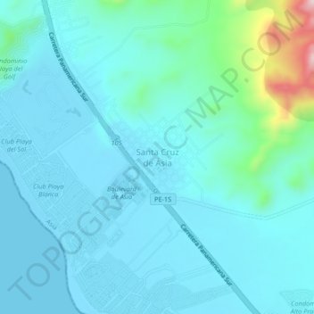
Name: Santa Cruz de Asia topographic map, elevation, terrain.
Location: Santa Cruz de Asia, Cañete, Lima, Perú (-12.77811 -76.61893 -12.73811 -76.57893)
Average elevation: 138 ft
Minimum elevation: 0 ft
Maximum elevation: 1,014 ft