
Dhapewada topographic map
Interactive map
Click on the map to display elevation.
About this map
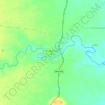
Name: Dhapewada topographic map, elevation, terrain.
Location: Dhapewada, Nagpur, Maharashtra, 441500, India (21.28250 78.89286 21.32250 78.93286)
Average elevation: 1,070 ft
Minimum elevation: 1,027 ft
Maximum elevation: 1,122 ft