
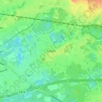
Zolder topographic map
Interactive map
Click on the map to display elevation.
About this map
Name: Zolder topographic map, elevation, terrain.
Location: Zolder, Hasselt, Limbourg, Flandre, 3550, Belgique (51.00366 5.29352 51.04366 5.33352)
Average elevation: 128 ft
Minimum elevation: 85 ft
Maximum elevation: 203 ft