
GTC topographic map
Interactive map
Click on the map to display elevation.
About this map
Name: GTC topographic map, elevation, terrain.
Average elevation: 6,962 ft
Minimum elevation: 4,396 ft
Maximum elevation: 7,953 ft
Other topographic maps
Click on a map to view its topography, its elevation and its terrain.
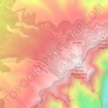
Roque de los Muchachos
Roque de los Muchachos, Garafía, Santa Cruz de Tenerife, Canarias, España
Average elevation: 6,634 ft