
Fort Ragusa topographic map
Interactive map
Click on the map to display elevation.
About this map
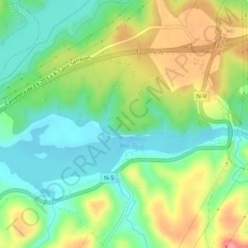
Name: Fort Ragusa topographic map, elevation, terrain.
Location: Fort Ragusa, Romangordo, Cáceres, Extremadura, 10350, Spagna (39.77134 -5.72121 39.79134 -5.70121)
Average elevation: 922 ft
Minimum elevation: 791 ft
Maximum elevation: 1,122 ft