
Sint-Paulus-Westmalle topographic map
Interactive map
Click on the map to display elevation.
About this map
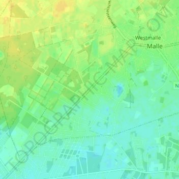
Name: Sint-Paulus-Westmalle topographic map, elevation, terrain.
Location: Sint-Paulus-Westmalle, Westmalle, Malle, Antwerpen, 2390, België (51.26726 4.65001 51.30726 4.69001)
Average elevation: 72 ft
Minimum elevation: 43 ft
Maximum elevation: 105 ft