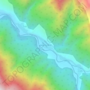
Lower Taobat topographic map
Interactive map
Click on the map to display elevation.
About this map
Name: Lower Taobat topographic map, elevation, terrain.
Average elevation: 8,520 ft
Minimum elevation: 7,310 ft
Maximum elevation: 11,503 ft

Click on the map to display elevation.
Name: Lower Taobat topographic map, elevation, terrain.
Average elevation: 8,520 ft
Minimum elevation: 7,310 ft
Maximum elevation: 11,503 ft