
Fort Trumbull State Park topographic map
Interactive map
Click on the map to display elevation.
About this map
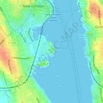
Name: Fort Trumbull State Park topographic map, elevation, terrain.
Average elevation: 39 ft
Minimum elevation: -10 ft
Maximum elevation: 148 ft
Other topographic maps
Click on a map to view its topography, its elevation and its terrain.
Prospect Hill
United States > Connecticut > Southeastern Connecticut Planning Region > New London
Prospect Hill, New London, Southeastern Connecticut Planning Region, Connecticut, 06385, United States
Average elevation: 125 ft