
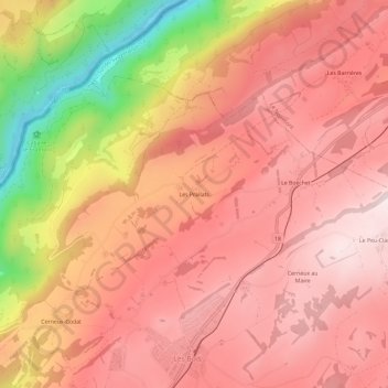
Les Prailats topographic map
Interactive map
Click on the map to display elevation.
About this map
Name: Les Prailats topographic map, elevation, terrain.
Location: Les Prailats, Les Bois, Freiberge, Jura, 2336, Schweiz (47.17324 6.88594 47.21324 6.92594)
Average elevation: 3,077 ft
Minimum elevation: 1,781 ft
Maximum elevation: 3,684 ft