
Glashütte topographic map
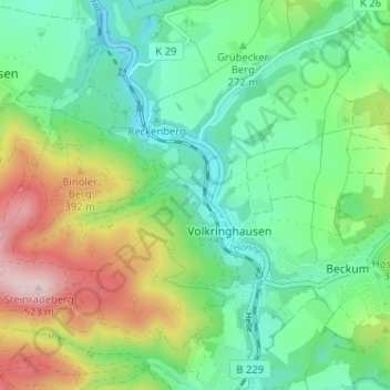
Interactive map
Click on the map to display elevation.
About this map
Name: Glashütte topographic map, elevation, terrain.
Average elevation: 978 ft
Minimum elevation: 620 ft
Maximum elevation: 1,719 ft
Other topographic maps
Click on a map to view its topography, its elevation and its terrain.
Sanssouci
Deutschland > Nordrhein-Westfalen > Märkischer Kreis > Volkringhausen
Sanssouci, Volkringhausen, Balve, Märkischer Kreis, Nordrhein-Westfalen, 58802, Deutschland
Average elevation: 958 ft