
月牙达坂 topographic map
Interactive map
Click on the map to display elevation.
About this map
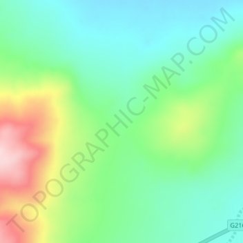
Name: 月牙达坂 topographic map, elevation, terrain.
Location: 月牙达坂, 东汝乡, 日土县, 阿里地区, 西藏自治区, 中国 (34.82552 82.05042 34.84552 82.07042)
Average elevation: 16,985 ft
Minimum elevation: 16,703 ft
Maximum elevation: 17,589 ft