
Parc Henri Matisse topographic map
Interactive map
Click on the map to display elevation.
About this map
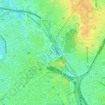
Name: Parc Henri Matisse topographic map, elevation, terrain.
Average elevation: 98 ft
Minimum elevation: 56 ft
Maximum elevation: 157 ft
Other topographic maps
Click on a map to view its topography, its elevation and its terrain.
Lille
França > Norte-Passo-de-Calais e Picardia > Lille
Lille, Nord, Norte-Passo-de-Calais e Picardia, França metropolitana, França
Average elevation: 105 ft
Vauban Esquermes
França > Norte-Passo-de-Calais e Picardia > Lille
Vauban Esquermes, Lille, Nord, Norte-Passo-de-Calais e Picardia, França metropolitana, França
Average elevation: 85 ft