
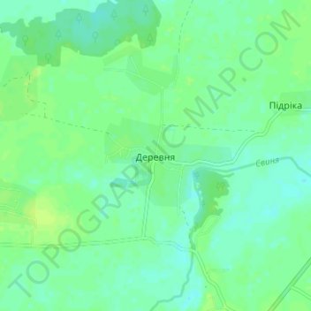
Деревня topographic map
Interactive map
Click on the map to display elevation.
About this map
Name: Деревня topographic map, elevation, terrain.
Location: Деревня, Жолковский район, Львовская область, 80343, Украина (50.13602 24.01328 50.17602 24.05328)
Average elevation: 702 ft
Minimum elevation: 682 ft
Maximum elevation: 722 ft