
Hutchison topographic map
Interactive map
Click on the map to display elevation.
About this map
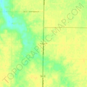
Name: Hutchison topographic map, elevation, terrain.
Location: Hutchison, Ralls County, Missouri, United States of America (39.32587 -91.66266 39.36587 -91.62266)
Average elevation: 741 ft
Minimum elevation: 692 ft
Maximum elevation: 761 ft