
Ashnola River topographic map
Interactive map
Click on the map to display elevation.
About this map
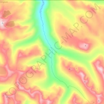
Name: Ashnola River topographic map, elevation, terrain.
Average elevation: 6,624 ft
Minimum elevation: 4,905 ft
Maximum elevation: 8,271 ft
Other topographic maps
Click on a map to view its topography, its elevation and its terrain.
Columbia River
United States of America > Washington > Okanogan County
Columbia River, Okanogan County, Washington, 98635, United States of America
Average elevation: 3,615 ft
Silver Star Mountain
United States of America > Washington > Okanogan County
Silver Star Mountain, Okanogan County, Washington, United States of America
Average elevation: 7,090 ft