
Zolder topographic map
Interactive map
Click on the map to display elevation.
About this map
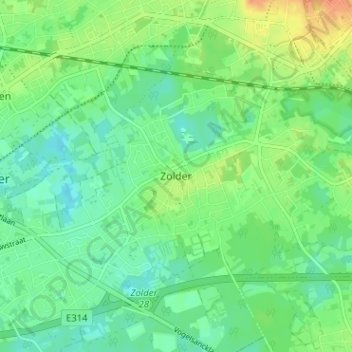
Name: Zolder topographic map, elevation, terrain.
Average elevation: 128 ft
Minimum elevation: 85 ft
Maximum elevation: 203 ft
Other topographic maps
Click on a map to view its topography, its elevation and its terrain.
Bolderberg
België > Limburg > Hasselt > Heusden-Zolder > Zolder
Bolderberg, Zolder, Heusden-Zolder, Hasselt, Limburg, 3550, België
Average elevation: 105 ft