
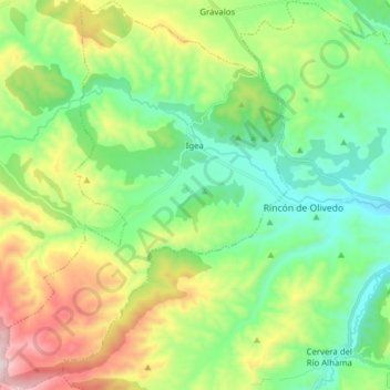
Igea topographic map
Interactive map
Click on the map to display elevation.
About this map
Name: Igea topographic map, elevation, terrain.
Location: Igea, La Rioja, España (41.99605 -2.08535 42.11153 -1.97150)
Average elevation: 2,375 ft
Minimum elevation: 1,545 ft
Maximum elevation: 4,144 ft