
Cárquere topographic map
Interactive map
Click on the map to display elevation.
About this map
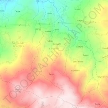
Name: Cárquere topographic map, elevation, terrain.
Location: Cárquere, Resende, Viseu, Tâmega e Sousa, Nord, Portugal (41.06415 -7.97779 41.10416 -7.94145)
Average elevation: 1,906 ft
Minimum elevation: 541 ft
Maximum elevation: 3,087 ft