
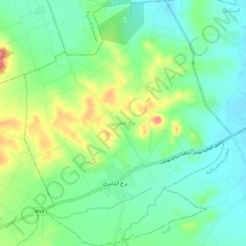
Borj El Amri topographic map
Interactive map
Click on the map to display elevation.
About this map
Name: Borj El Amri topographic map, elevation, terrain.
Average elevation: 194 ft
Minimum elevation: 105 ft
Maximum elevation: 404 ft
Other topographic maps
Click on a map to view its topography, its elevation and its terrain.
La Manouba
Tunisie > Gouvernorat La Manouba > Manouba
La Manouba, Manouba, Délégation Manouba, Gouvernorat La Manouba, 2087, Tunisie
Average elevation: 174 ft
Djedaïda
Tunisie > Gouvernorat La Manouba
Djedaïda, Délégation Djedaïda, Gouvernorat La Manouba, Tunisie
Average elevation: 92 ft
Mornaguia
Tunisie > Gouvernorat La Manouba
Mornaguia, Délégation Mornaguia, Gouvernorat La Manouba, Tunisie
Average elevation: 246 ft