
Mercedes Sur topographic map
Interactive map
Click on the map to display elevation.
About this map
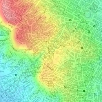
Name: Mercedes Sur topographic map, elevation, terrain.
Location: Mercedes Sur, Barranquilla, Atlántico, Colombie (10.98206 -74.81843 10.98718 -74.81617)
Average elevation: 289 ft
Minimum elevation: 118 ft
Maximum elevation: 466 ft
Other topographic maps
Click on a map to view its topography, its elevation and its terrain.
Las Malvinas
Colombie > Atlántico > Barranquilla
Las Malvinas, Barranquilla, Atlántico, Caribe, Colombie
Average elevation: 118 ft