
Quarter 1 of District 1 topographic map
Interactive map
Click on the map to display elevation.
About this map
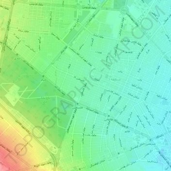
Name: Quarter 1 of District 1 topographic map, elevation, terrain.
Average elevation: 3,310 ft
Minimum elevation: 3,222 ft
Maximum elevation: 3,501 ft
Other topographic maps
Click on a map to view its topography, its elevation and its terrain.
Shahid Maghul
Iran > Razavi Khorasan Province > Mashhad
Shahid Maghul, District 6, Mashhad, Mashhad County, Razavi Khorasan Province, Iran
Average elevation: 3,176 ft