
Serrejón topographic map
Interactive map
Click on the map to display elevation.
About this map
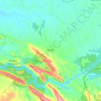
Name: Serrejón topographic map, elevation, terrain.
Location: Serrejón, Campo Arañuelo, Cáceres, Estrémadure, Espagne (39.76292 -5.92039 39.86928 -5.72323)
Average elevation: 1,014 ft
Minimum elevation: 738 ft
Maximum elevation: 2,041 ft